Search the gallery
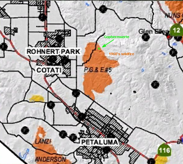
The Gallery at Gophermuerte
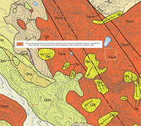
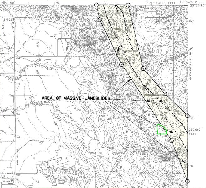
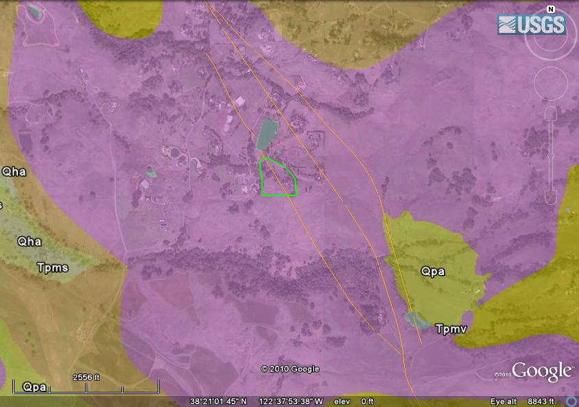
The Geology
Lidar View
Sidebar Left
No Sidebar
Sidebar Bottom
Sidebar Right
View full size
View slideshow
Lidar View
Page:
1
·
2
·
3
·
4
·
5
·
6
·
7
More
Lidar View
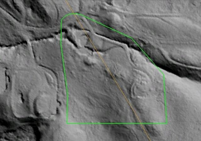
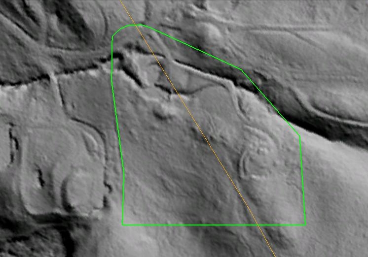
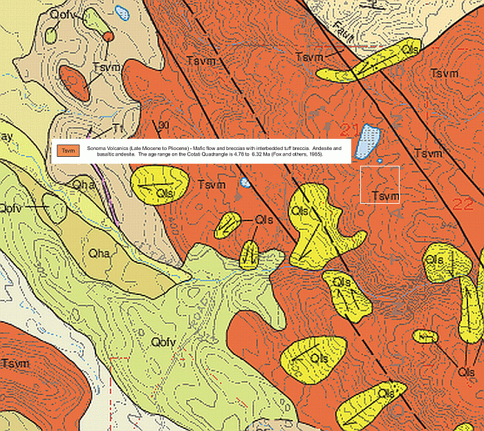
Aerial image taken with LIDAR (optical radar showing ground features through the vegetation) with superimposed fault trace from USGS maps
Random image
Photo info
Owner:
edact
Aerial image taken with LIDAR (optical radar showing ground features through the vegetation) with superimposed fault trace from USGS maps
Navigator
 More
More

